01
LAND & CADASTRAL
Title surveys
- Subdivision of buildings for strata titles
- Land surveys for agriculture and mining
- Surveys for special purposes
- Land acquisition surveys
- Administrative boundary surveys
- Survey services for title applications


UKUR TUJUH PETALA LANGIT, TUJUH PETALA BUMI
Precise surveying for the places, infrastructure, and communities of tomorrow.
01 / ABOUT US
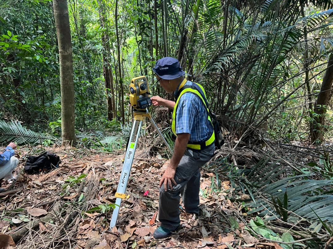
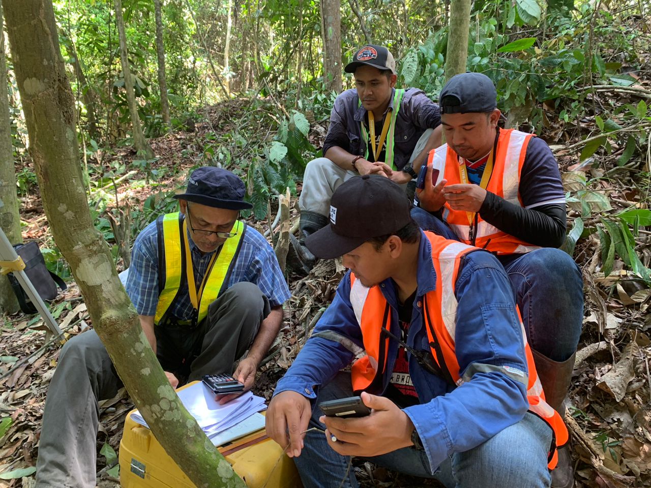
Juruukur Asas Sdn. Bhd. is a professional land and geomatics surveying firm registered under the Land Surveyors Board Malaysia.
Since 2001, we have delivered surveying services across Peninsular Malaysia for private and government sector projects. Our work is built on precision, reliability, and a practical approach to evolving survey technology.
With more than two decades of experience, we support projects that shape communities and sustainable growth. We also welcome opportunities to extend our work internationally.
02 / EXPERTISE
From land titles and boundaries to infrastructure, terrain, and subsurface mapping.
LAND & CADASTRAL
ENGINEERING & GEOSPATIAL
Field knowledge Modern methods Reliable results
Discuss a project03 / CLIENTS
Organisations we have worked with across Malaysia.









04 / CONTACT
Tell us about your site or project, and our team will be glad to hear from you.
Email our team